
(Version 2.0.0 on GitHub and CRAN)
The fact that the R packages “raster”, “maptools” and “rgeos”, on which MetaLandSim depended, are soon going to be discontinued and most functionalities replaced by the package “terra“. This caused me to go into the code of the package and do some major changes, which I report here.
This version 2.0.0 has fewer dependencies, which is great news, at least for me as maintainer of the package.
Dispersal probabilities across time from current presences
One of the functionalities of the package is simulating the potential expansion of a species through time from its current distribution. Previous versions of the package distinguished the dispersal probability to the north, south, east and west. The current version considers that the dispersal probability is the same in all directions radially from current presences. This does not have relevant impacts on results as these simulations are intended to be repeated many times and any potential differences between the four directions would be diluted.
The approach to simulate the range expansion as presented in the paper Mestre et al. (2016):

These changes allowed me to also disconnect the package from GRASS, with obvious advantages (one less dependency and not depending on any changes made to GRASS, which gave me a few headaches in the past). Now, most raster-related work is done by the package “terra”.
Graphic User Interface (GUI)
The GUI was developed as a way to help inexperienced users of R. However, considering the work that I have to have to update this function when some other functions are changed (and the small amount of time I have to deal with updating MetaLandSim overall) I decided to discontinue the GUI. In my papers (as supplementary information) and in this blog I have made available several code examples that can be used as reference by more inexperienced users.
The “about” section of the GUI:
Example of the range expansion simulation
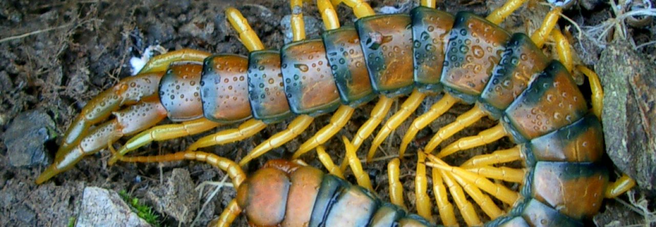
Finally, the example for the range expansion simulations is now based on, but not identical to, that in the paper Mestre et al. (2017), conducted for Cabrera’s vole. Previously these examples were based on a non-existent species distribution. The difference in the characteristics of the landscape. The param2 parameters data frame was also changed to match those of the study focal species.
New example:

